
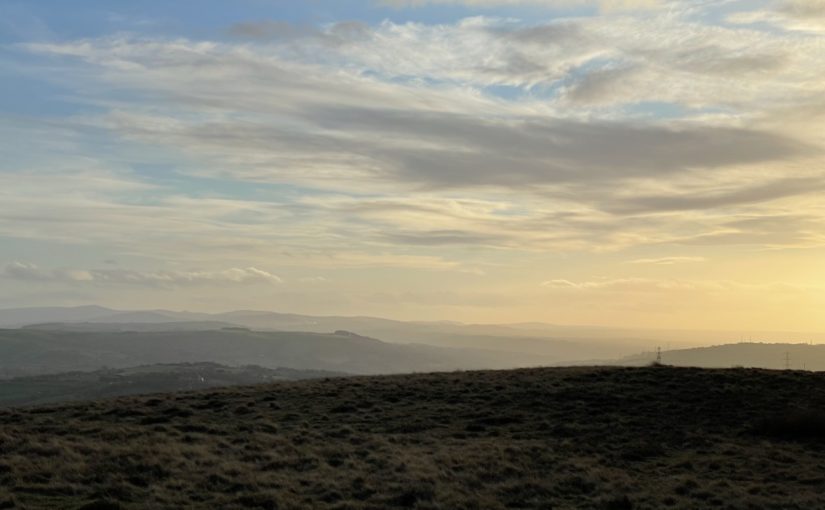
I did this walk some years back and don’t remember it particularly fondly, but today it was just beautiful. The light was a low, golden, winter sunshine, and everything looked magical.
Download file for GPSNext time I do this walk, where I turn up north towards Harridge Pike I’ll try the west side of Dry Clough rather than the east.
Use Ordnance Survey map OL1. Here’s the route stored on Ordnance Survey to load it into an app. It claims to be 591m total ascent, 9.9km in length, and it took me about 3.5 hours including eating lunch and messing around with a drone.


…and naturally this was a great opportunity to play with my present to myself, a DJI Mini 2 drone…
Leave a Reply